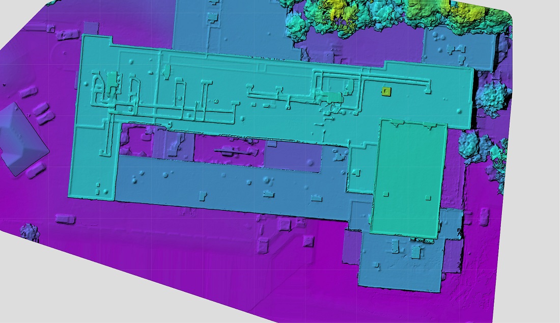
Drone Services - Professional Drone Photogrammetry in the GTA
Why Use Drone Photogrammetry?
Rapid Site Surveys - Collect detailed spatial data across large areas in a fraction of the time required by traditional survey methods.
Repeatable Flights - Flight missions can be reflown to capture the same site over time, supporting progress monitoring, change detection and long-term asset management.
Improved Safety - Capture information from hazardous, elevated, or inaccessible locations without placing personnel at unnecessary risk.
Comprehensive Data - Every survey captures far more information than isolated measurements, creating a permanent digital record.
Dynamic uses only Transport Canada licensed pilots and handles all neccesary permitting.
Contact us for a competitive quote on your project
drones@dynamicinteractives.com
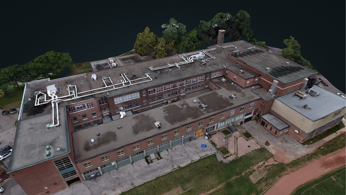
Photogrammetry is the science of creating accurate three-dimensional models from overlapping photographs. By capturing hundreds—or even thousands—of images from multiple angles, specialized software identifies common points across every photograph and reconstructs a highly accurate digital representation of the real world. Unlike traditional manual surveying alone, photogrammetry allows large sites, complex structures, and difficult-to-access areas to be documented quickly while preserving exceptional detail. Whether you're documenting infrastructure, inspecting assets, monitoring construction progress, or preserving historical sites, photogrammetry provides reliable, measurable data that supports better decision-making.
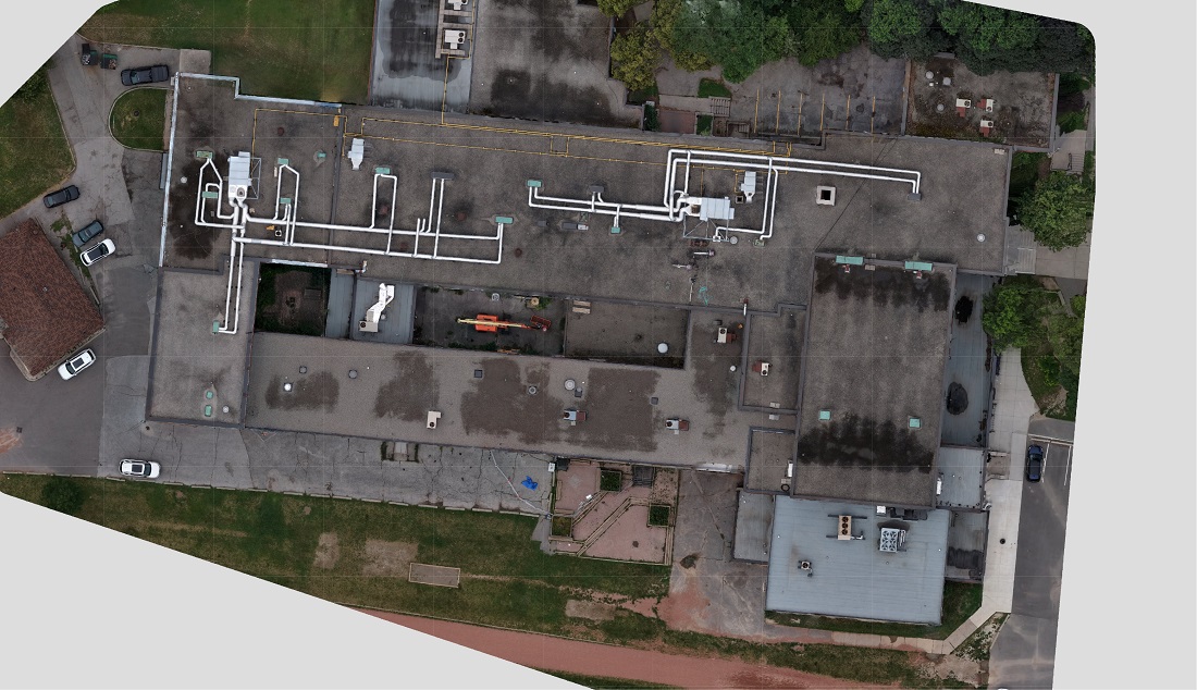
Read more about how we do Photogrammetry